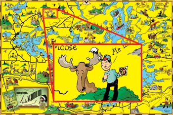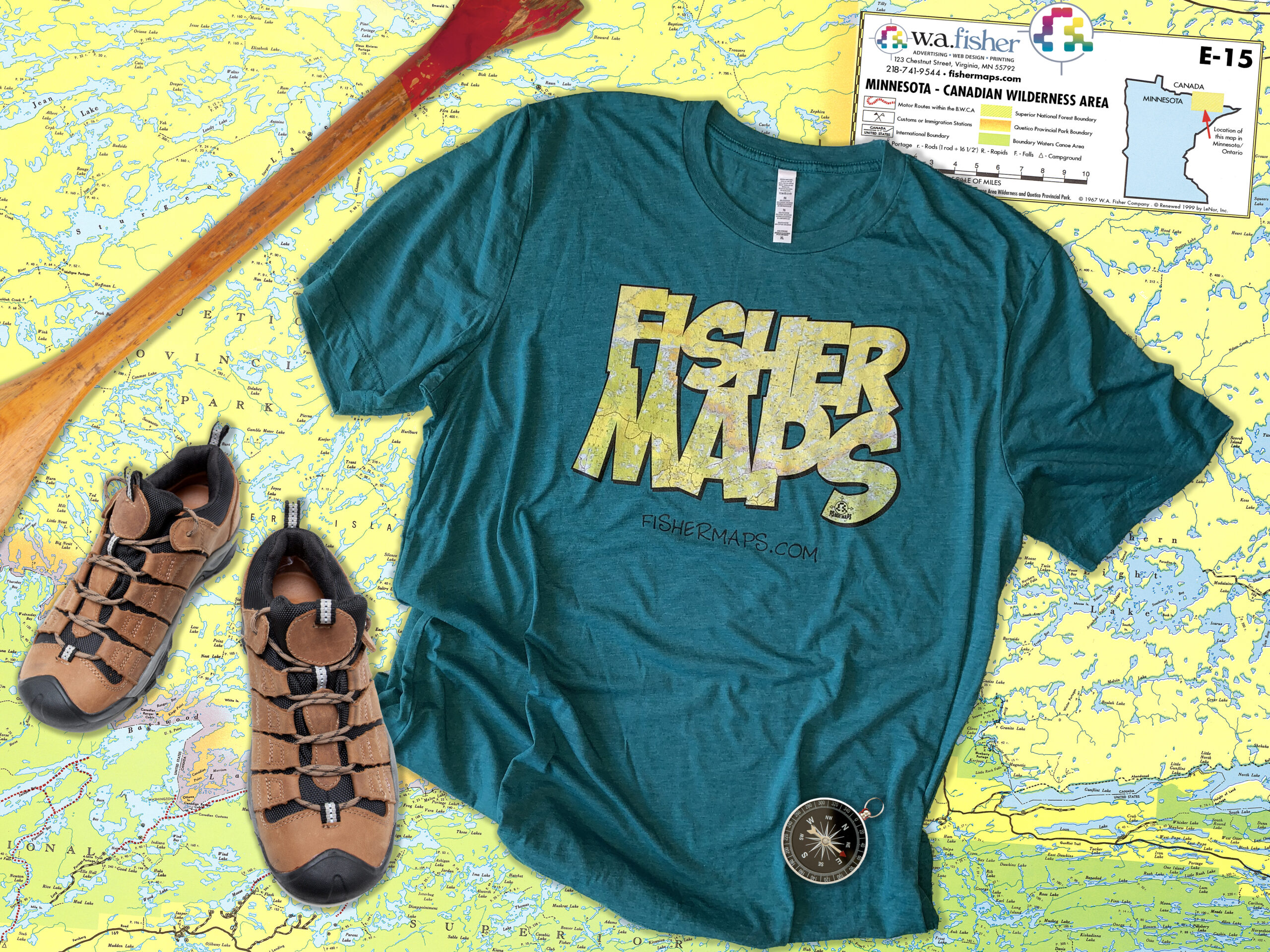
W.A. Fisher's Life Work
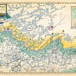
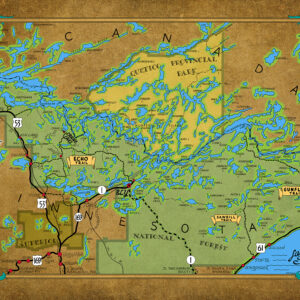
The Best Maps Since 1929
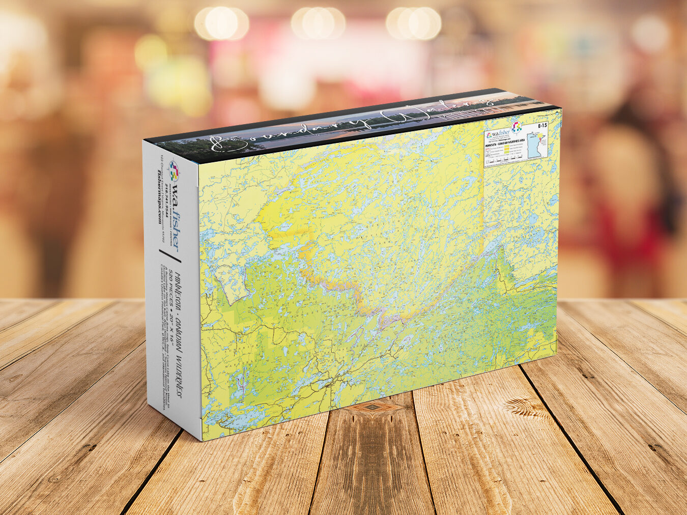
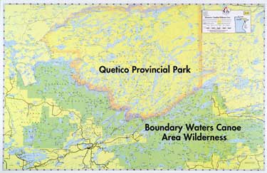
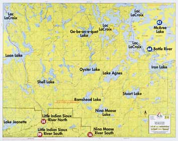
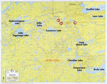
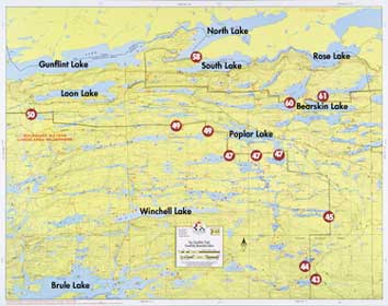
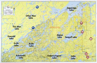
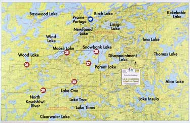
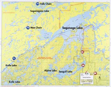
Chances are, if you canoe, fish, camp, snowmobile or hike in the border country of Minnesota and Canada, you’ll use one of our Fisher Maps. Our Quetico Provincial Park maps and Boundary Waters Canoe Area Wilderness maps are well known among outdoor enthusiasts, not only because they’re exceptionally detailed, up-to-date and easy-to-read, but because waterproof maps are an absolute necessity in the wilderness.
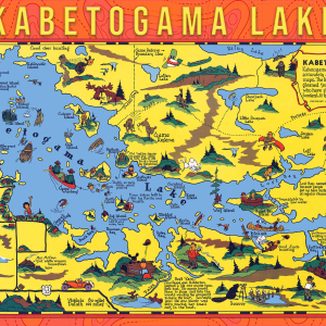
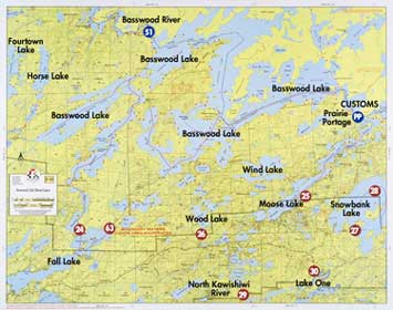
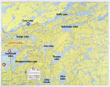
In addition to BWCA Fisher Maps, we carry Voyageur National Park maps (V-Series) and North Shore – Gunflint Trail maps. Check out our F-Series maps of the Superior National Forest including the Boundary Waters Canoe Area in Minnesota and Quetico Provincial Park in Canada and our popular Historic & Cartoon Maps.